Download Simcore Seer3D 2.1.1 for Windows
Free download Simcore Seer3D 2.1.1 full version standalone offline installer for Windows PC,
Simcore Seer3D Overview
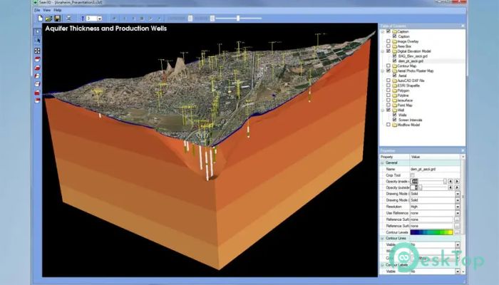
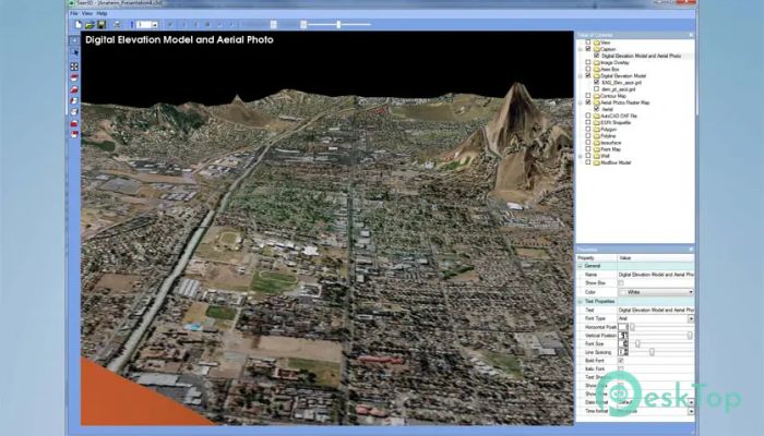
This software is designed to bring clarity to complex groundwater models and environmental data. It merges maps, field results, and numerical simulations into detailed 3D scenes. The tool is widely used by researchers, engineers, and environmental consultants who aim to make technical data more accessible and presentable.Features of Simcore Seer3D
Create realistic 3D visualizations of environmental data
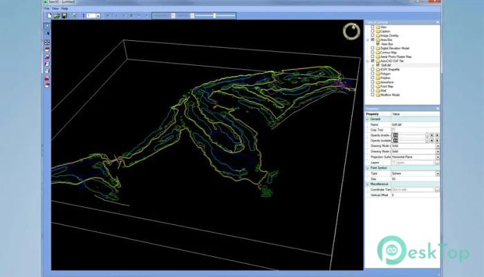
Merge maps, boreholes, wells, and geophysical data into one scene
Control transparency, cropping, and display styles for clarity
Add annotations, legends, and logos to presentations
Export interactive animations to show changes over time
Advanced view storage for quick navigation
Stereoscopic 3D display support for presentations
Free viewer option to share models with clients
Visualization and Display Tools
The tool provides intuitive controls for displaying complex datasets. Users can switch between mesh and solid display modes, crop objects for improved focus, and highlight specific areas by adjusting transparency levels. These options enable presentations that feel dynamic and professional, much like navigating a digital environment.
Animation and Presentation
One standout feature is the ability to create animations. These include showing plume development, water level changes, or flow paths across time. Such animations help in explaining processes to clients or teams without requiring them to study raw data.
Numerical Model Support
The application supports widely used models like MODFLOW, MT3DMS, and SEAWAT. It also works with reactive transport models such as MT3D99, PHT3D, and RT3D. Users can easily visualize model grids, flow packages, hydraulic heads, and groundwater tables in color-filled contours, making technical results more engaging.
Flow and Concentration Analysis
With built-in particle tracking and flow vector fields, the software shows the direction and magnitude of water movement. It also displays simulated concentration contours and isosurfaces, helping in pollution studies and water quality monitoring. Parameter distributions, like hydraulic conductivity, can be mapped with ease.
System Requirements and Technical Details
Operating System: Windows 11 / 10 / 8.1 / 7
Processor: Minimum 1 GHz Processor (2.4 GHz recommended)
RAM: 2GB (4GB or more recommended)
Free Hard Disk Space: 200MB or more is recommended

-
Program size14.19 MB
-
Version2.1.1
-
Program languagemultilanguage
-
Last updatedBefore 9 Month
-
Downloads13